In that sense, the surveyor was the scientist who read the terrain before the engineer arrived.
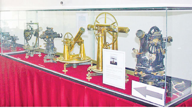
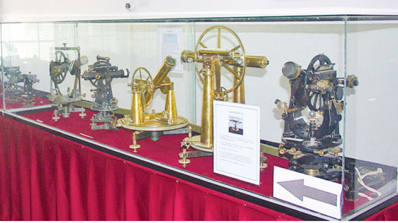
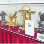
Walking among the old theodolites, plane tables, measuring chains, maps, photographs and other instruments preserved at the Diyatalawa Survey Museum, one can glimpse a fragment of this long history. These are not merely obsolete pieces of equipment. They are silent witnesses to a generation that mapped the island, inch by painstaking inch.
The ordinary surveyor measured the length and breadth of the land, translating the physical terrain into the lines and contours of a two-dimensional map. Brohier went further. He brought into that map the people who inhabited the land, along with their folklore, customs, ways of life, irrigation traditions and history.
Seen in that light, Brohier did more than measure the terrain. He gave it a human dimension, turning the survey of a country into something closer to a three-dimensional reading of the land itself. And what he encountered in that journey, he recorded with an uncommon gift for observation and an extraordinary command of the written word.
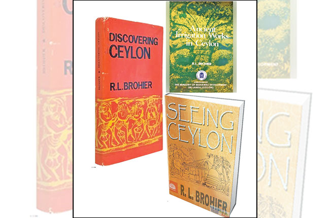
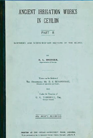
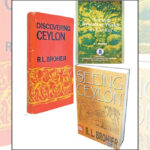
Those observations later returned to us in works such as Seeing Ceylon, Discovering Ceylon, Ancient Irrigation Works in Ceylon and Changing Face of Colombo. When writing about an ancient reservoir, Brohier does more than preserve its folklore. He studies the position of the tank bund, the movement of water, the network of canals and the relationship between engineering and terrain through the trained eye of a surveyor. His books, therefore, are more than travelogues. They are records in which the land and its people are read together.
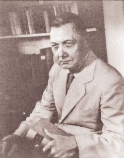
I came across a detail about Brohier that I had not known during my first visits to the Institution of Engineers, Sri Lanka. One day, as I stood before the row of portraits of its former presidents, I noticed Brohier’s imposing likeness among them. For a moment, I was taken aback.
“Was Brohier an engineer?”
The question came instinctively. To discover that a surveyor without an engineering degree had risen to the presidency of the institution’s predecessor, the Engineering Association, struck me as a remarkable recognition of his scholarship, professional standing and contribution to the country.
If Martin Wickramasinghe gave Sri Lanka’s village life and its people an enduring voice in Sinhala, Brohier carried the island’s rural landscapes, heritage and ways of life to a wider world in English.
The Diyatalawa museum could, with further development and promotion, become an important cultural and educational attraction for both the public and visitors. Brohier’s European ancestry, his life as a surveyor, the history of Sri Lanka’s irrigation systems and the rich body of writing he left behind could be brought together there as parts of a single, compelling story.
It could then become more than a repository of old surveying instruments. It could be a living centre of memory, telling the story of the men who mapped Sri Lanka and helping visitors, local and foreign alike, understand the country through the eyes of those who first measured it.
There is much more to say about Brohier. As a surveyor, he mapped the island’s terrain; as a writer, he filled that terrain with people, history and memory.
And that is why I return to my earlier assertion: if Sri Lanka were to name the surveyor to whom it owes the greatest debt, my choice would still be R. L. Brohier.
I will return to his story another day.